An—Island
Challenges
Feel the experience of a crossing of Réunion
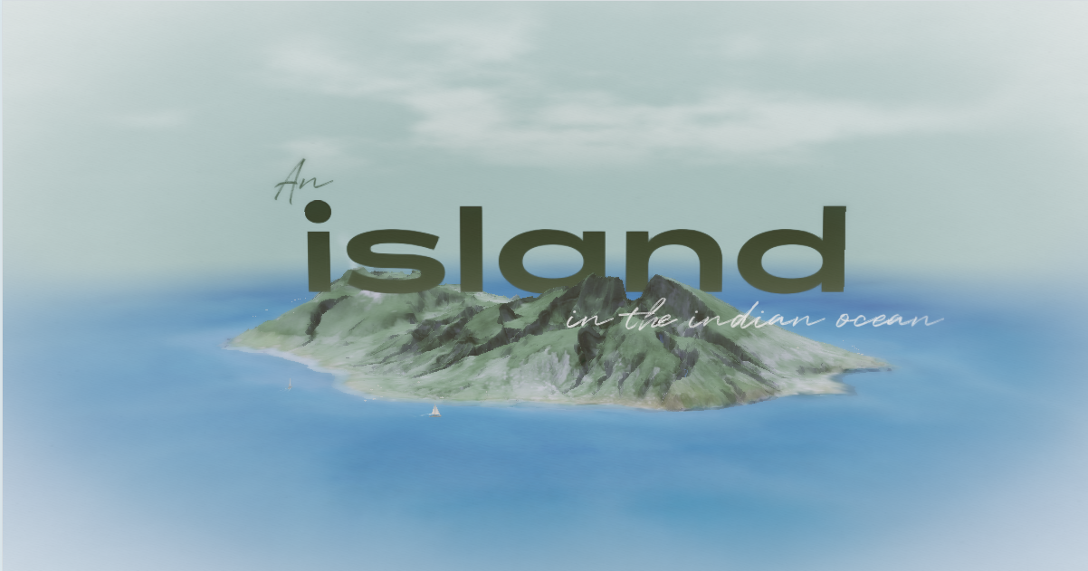
An Island is a studio initiative: an interactive map, designed first for the phone, that tells a crossing of Réunion from north to south — from Saint-Denis down to Basse-Vallée, facing the ocean.
The point was never to produce a hiking guide. We wanted a sensitive travel journal: one that lets you glimpse what you feel, the memories you keep from a journey of this kind. We wanted to tell the lived story, not the itinerary.
The map becomes the thread of the narrative. It does not illustrate the journey: it carries it, day after day.
Dream team
Creative Director
Art Director
UX designer
Illustrator
WebGL Dev
Creative Dev
DevOps
3D Artist
Motion designer
Sound designer
Voice-over
Project Manager
Client
PHA5E
Solution
To create an immediate bond and enter the story at once, the experience opens on a simple gesture: packing a bag. A few objects are enough to feed the narrative. A guide then writes the adventure in the first person, in an intimate, calm, embodied tone — that of a logbook read in the evening at the lodge.
The story does not merely describe places. It tells of fatigue, effort, wonder, the protagonist’s sensations as the days unfold. The crossing is cut into ten chapters, one per day: a short voice-over accompanies the travelling shot, then the text, the images and the cards gathered along the stages.
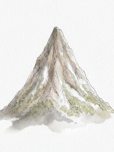
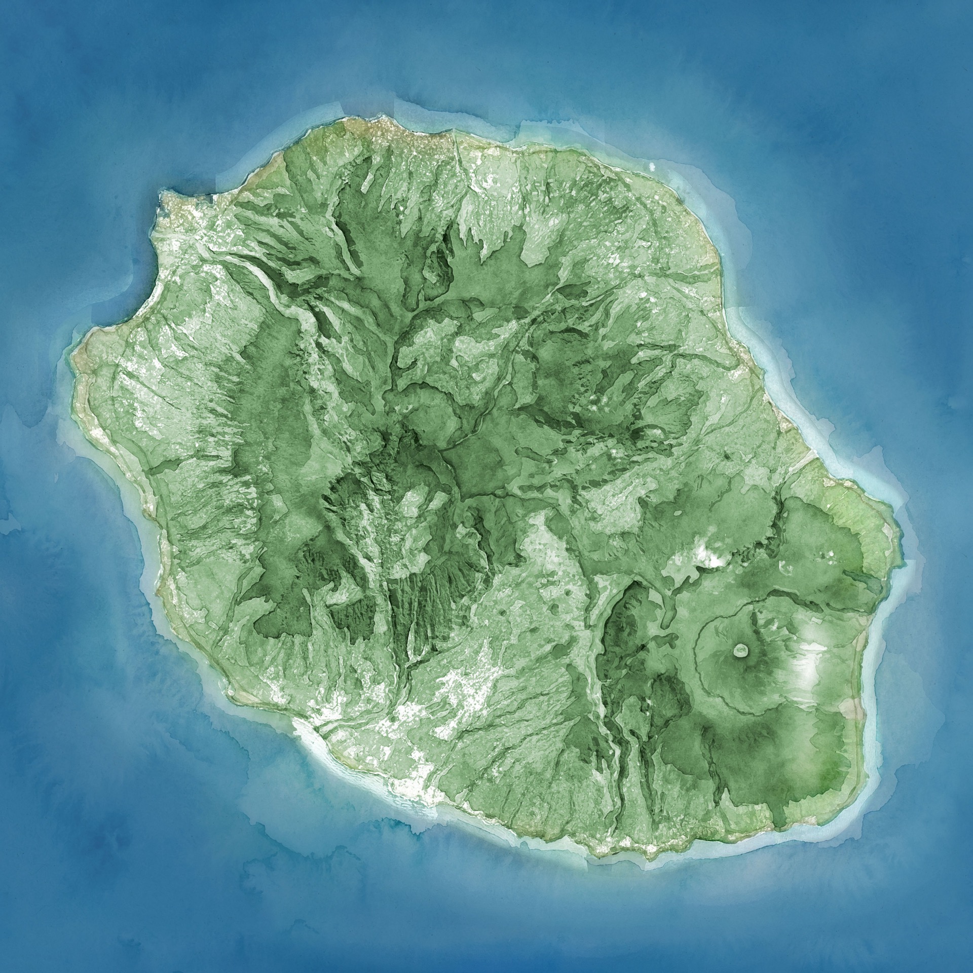
The watercolour map remains the through-line. You can follow the chapters, or click directly on the territory. The user chooses: be carried by the story, or explore freely.
Highlights
A watercolour map, designed first for the phone, that reads like a journal rather than a GPS ;
A personalised story, generated from what you pack, spoken in an embodied voice ;
Ten chapters, one per day: to give the experience rhythm and a sense of time ;
A double navigation: follow the guide, or explore the island freely ;
Living atmospheres — light, weather, birds, sound — that accompany the story ;
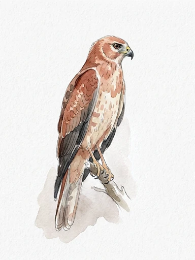
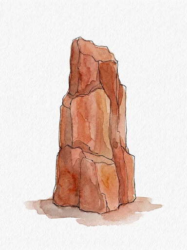
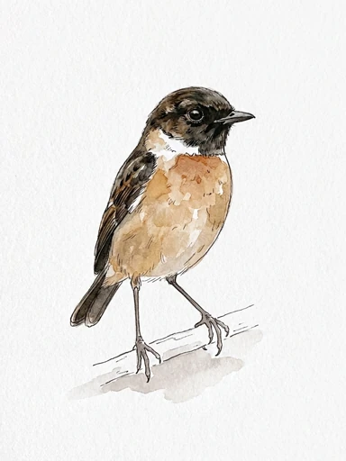
A collection of cards to gather: wildlife, plants, legends, culture. Like memories kept along the journey.
The technical challenge
Keeping a watercolour rendering of an entire territory fluid on a phone, with a travelling shot that follows the path while letting altitude and framing react slightly to the cursor ;
Generating story and voice on the fly without making anyone wait: the first chapter is prepared in several versions, the rest is written while you walk — to keep costs down and the sense of living progress intact ;
Synchronising the travelling shot, the voice-over, the light (from dawn to evening) and the weather atmospheres, without one blocking the other ;
Holding two readings together: story mode, which carries you, and the free map, which lets you explore.
The full sensory experience
What you see: an island painted in watercolour, a trail that ornaments itself as the days go by, cards that open like memories.
What you hear: a calm voice that tells a personalised story, and the sounds of the island — wind, rain, birds — shifting with the hour and the story as it builds.
What you feel: the fatigue of a climb in the story, the wonder of discoveries with the cards you uncover, without ever leaving the screen.