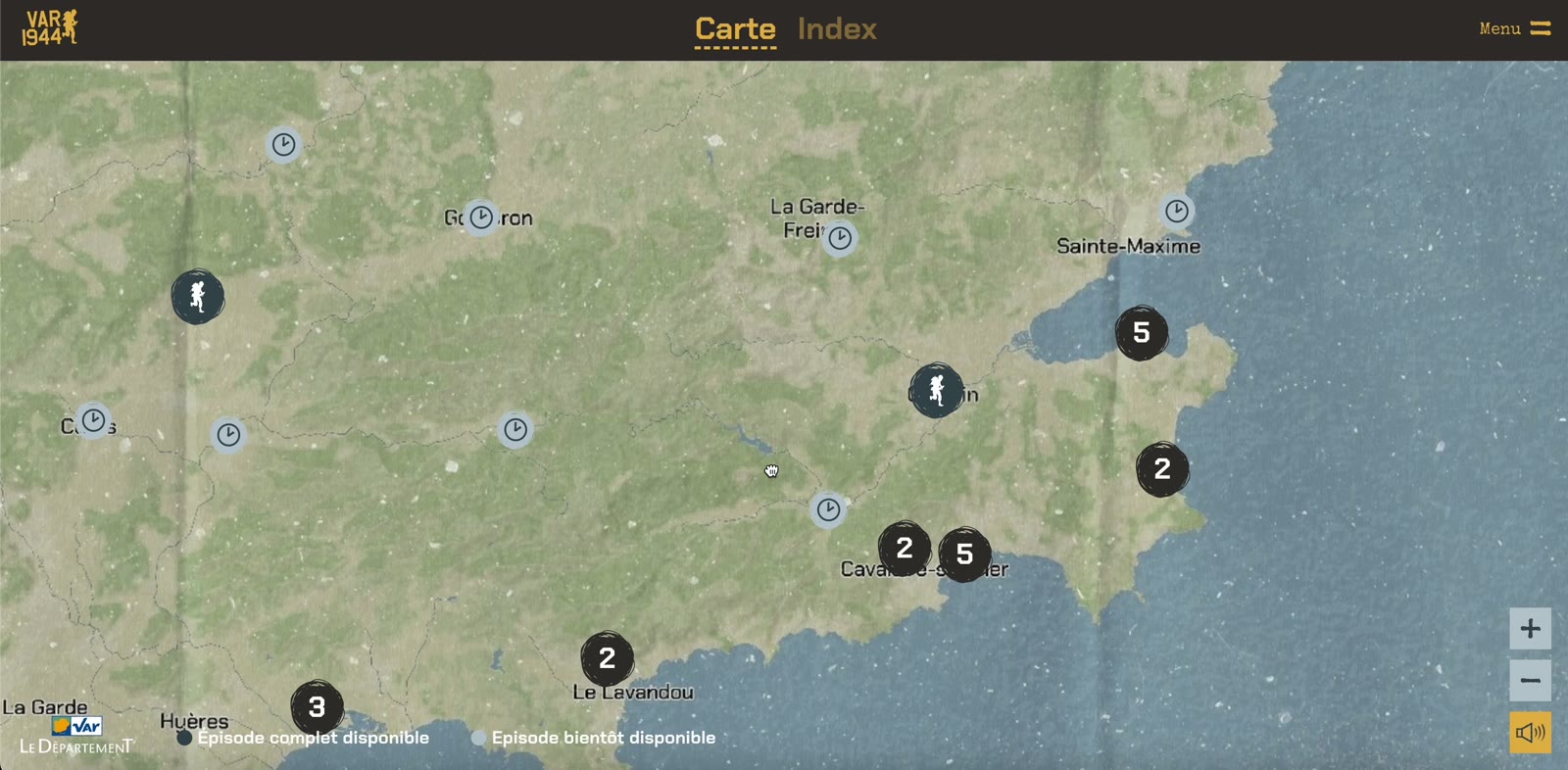
Unganisha means “together” in Swahili. It is the name chosen by WWF for its biodiversity programme run on the border between Tanzania and Kenya. Its central idea: protect fauna and flora by also acting on people’s living conditions. The two together, because their entanglements are many and the safeguarding of one depends on that of the other.
With the immersive site Unganisha, WWF wanted to raise public awareness of this holistic approach, and to raise donations. Our challenge: represent the actions carried out across a territory of 134,000 km² and show how they connect.
7themes to explore across the whole territory
134,000 km²an area as vast as Switzerland and Austria combined
2reading modes: Stories for narrative immersion and Themes for self-guided exploration
The problem of scale
On a territory this vast, everything gets lost. From above, you can no longer make anything out. Up close, you no longer know where you are. A classic map forces you to choose between the overview and the detail.
We chose not to choose. The interactive satellite map lets users move freely from one to the other, and the two reading modes guide visitors according to what they are looking for.
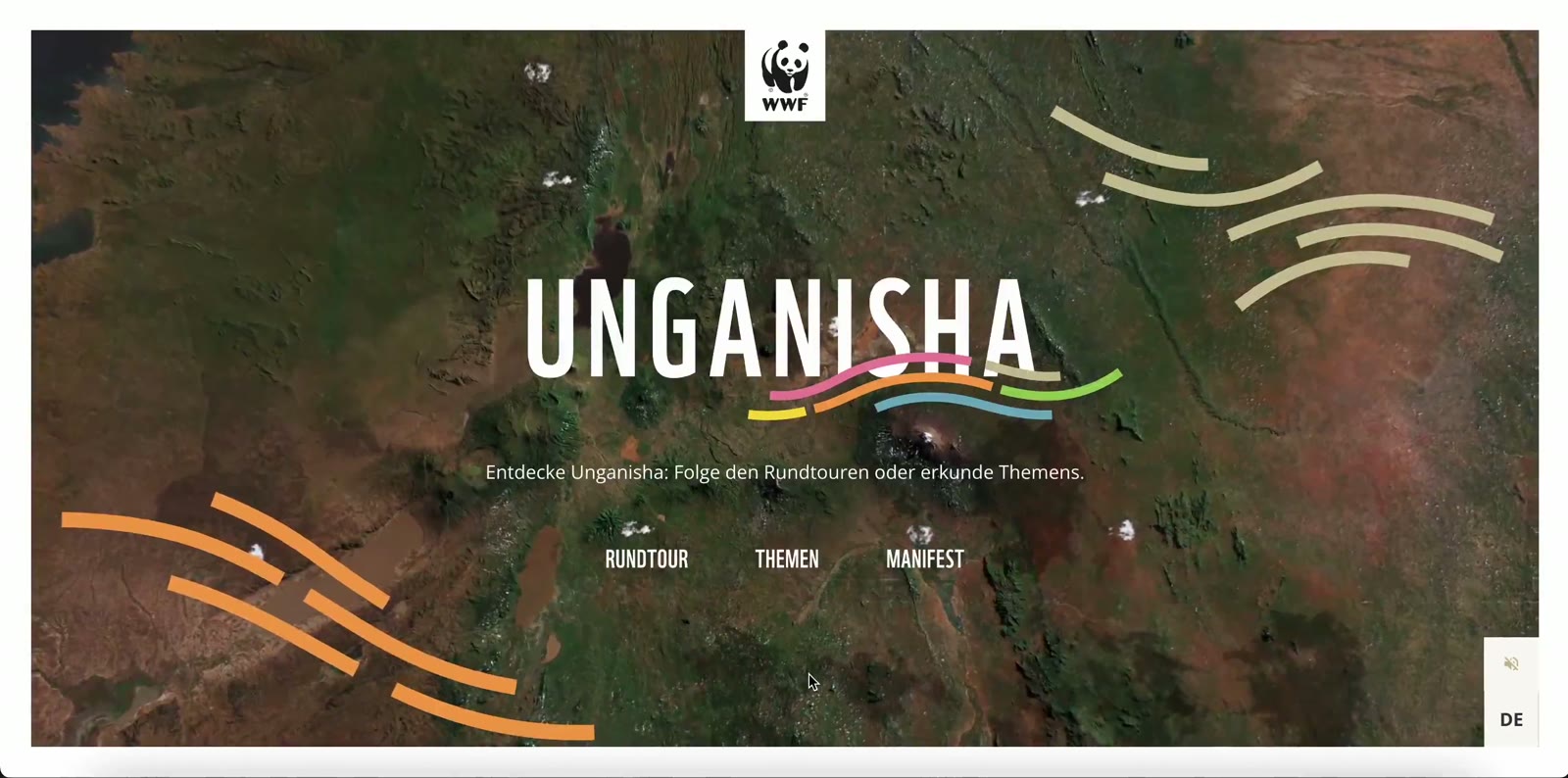
Two modes, two audiences
Story mode
A guided tour that tells the project. It highlights Unganisha’s philosophy and places the NGO’s actions in both space and time. It is the entry point for anyone discovering the programme, and also a way to show the links between the NGO’s different actions on the ground.
Theme mode
A more classic cartographic visualisation, with its legend on the side and points of interest spread across the map. It better conveys the number of actions and their variety in the field — restoring biodiversity and improving coexistence between people and their environment.
Both modes share the same map. You can start with the story and then dive into the data, or the other way around.
Immersion through sound and image
A map informs, but it rarely moves. To raise awareness, we paid particular attention to visuals and to a soundscape inspired by African culture. Sound conveys a presence that the satellite image alone cannot. An element that becomes essential when exploring themes related to animals.
A map of 134,000 km² should not make you feel the distance. It should make you want to come closer and explore.
Studio PHA5E
A map segmented into several layers
Representing an immense territory first means choosing what you show. Rather than a fixed image, we stack independent layers: relief, water, forests, snow, trails, peaks.
What the Unganisha project taught us
- On a large territory, navigation matters as much as content: you always need to know where you are.
- Two readings are better than one: the story draws people in, the data convinces them.
- Emotion also comes through sound, not only through image.