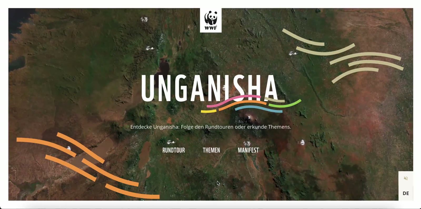
Telling history often means putting it in chronological order. With Var 1944 and Grungeology, we took another approach: putting it in space. In both projects, the map does not illustrate the story — it carries it.
The first commemorates the 80th anniversary of the Provence landings. The second explores the places that shaped Kurt Cobain before Nirvana. Two distant subjects, two different audiences, but the same starting question: how do you make people want to explore a territory to discover stories there?
Var 1944: a staff map for 80 portraits
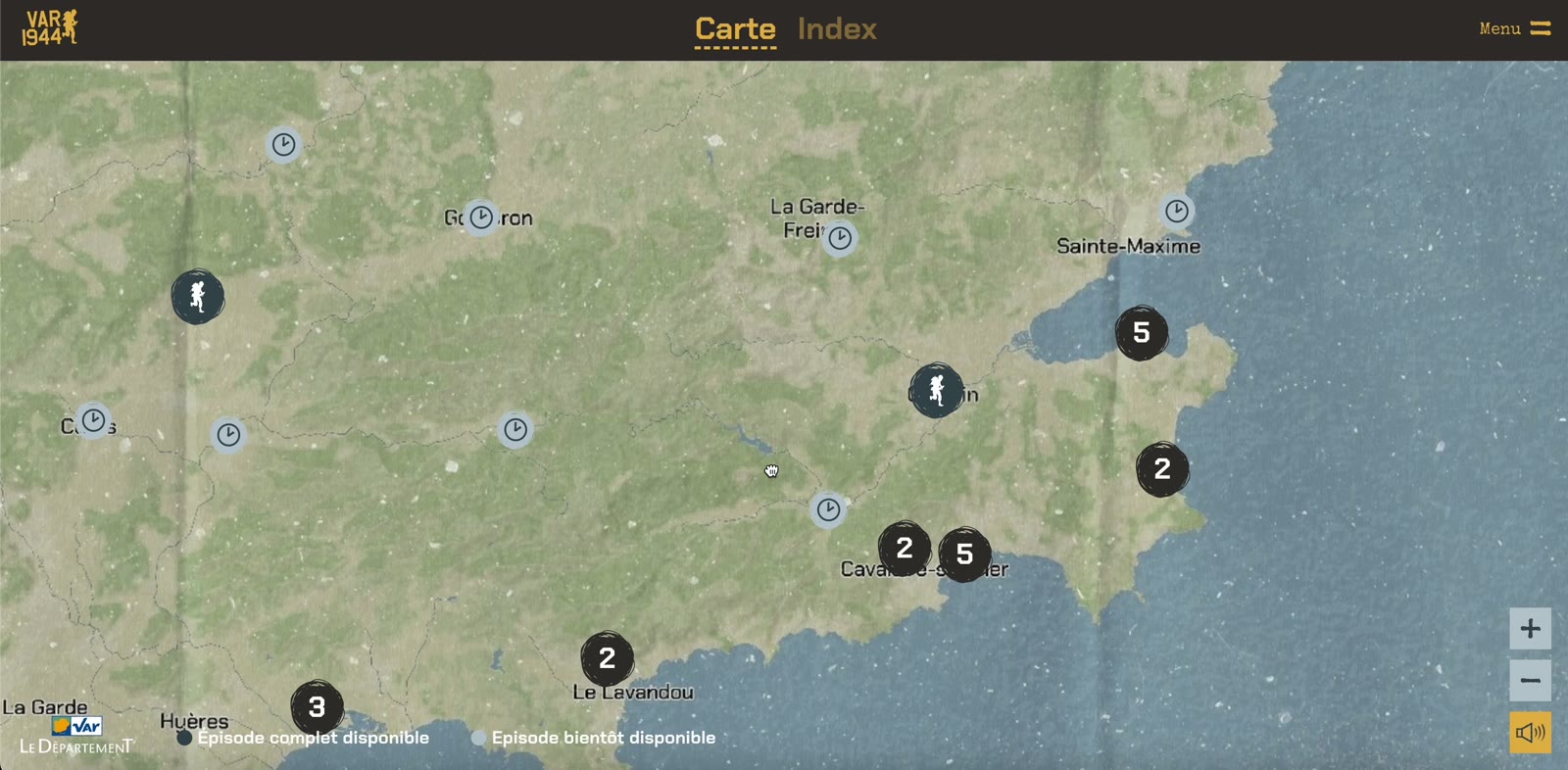
For the anniversary of the landings, the Var département wanted to showcase its historical and territorial heritage. The agency Artisans d’Idées wrote 80 portraits of men and women who took part in the event. Our role: to involve the audience emotionally — especially younger people.
The map takes on the aesthetic of military cartography. That choice is not decorative: it places the visitor immediately in the context of 1944 and gives each portrait a precise position on the territory.
80portraits of liberators
80 yearssince the Provence landings
2formats: website and mobile app
A website and an app
To reach every audience across the whole territory, the project exists both as a website and as a mobile app for iOS and Android. The app adds interactive experiences that give body to the sound stories and archive images.
Grungeology: on the trail of a childhood
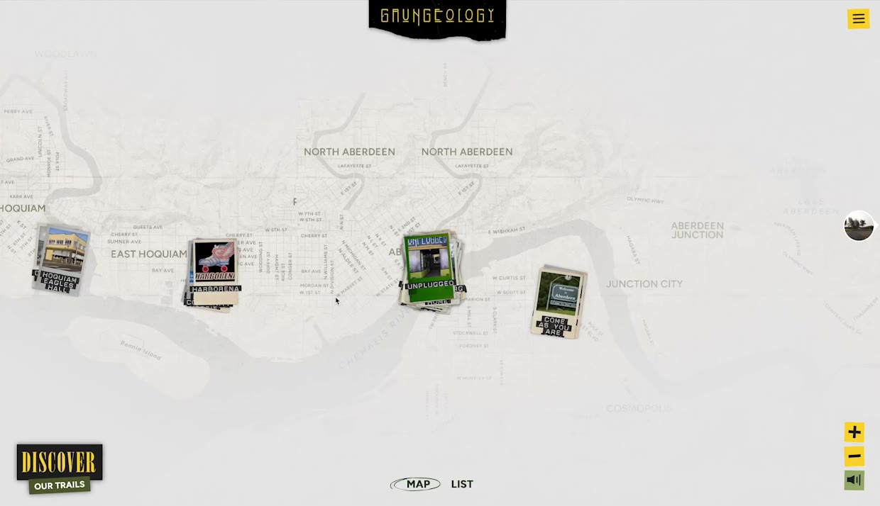
With Grungeology, the territory changes scale. It is no longer a département, but a town: Aberdeen, Washington, where Kurt Cobain grew up. The project explores the places of his childhood and adolescence to understand the genesis of grunge.
The map faithfully reproduces the town, in a documentary spirit. Thematic routes link the landmark places, enriched with photos and period iconography.
From afar or on site
Grungeology can be discovered in two ways. From home, on the website. Or on site, with the mobile version: geolocation then guides the visitor step by step along the routes.
What the two projects share
- A faithful map: the real territory, not an illustration, so every place can be found again.
- Period art direction: military cartography for 1944, documentary photography for grunge.
- A double reading: from afar to discover, on site to live the journey.
- Story first: technology steps back behind the stories it carries.
Bringing a sum of small historical moments to life helps people remember — and understand.
Studio PHA5E
The map as a tool of memory
A timeline is read. A map is explored. That difference changes the audience’s relationship to the content: they no longer follow an imposed narrative — they compose it by moving. Each place becomes a doorway into a story.
That is what makes cartography a privileged medium for heritage and cultural projects, and one of the reasons we have made it an expertise in its own right.